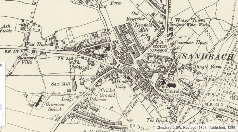
The background map of Sandbach is from the Ordnance Survey Six Inch to a Mile series for England and Wales (1842-1952). The map shown was revised in 1897 and published in 1899. The image is from the National Library of Scotland and it is reproduced with their permission under the under the terms of the Creative Commons Attribution (CC-BY) licence.
The map can be viewed at https://maps.nls.uk/view/101599261
The large library of maps on the NLS website can be accessed at https://maps.nls.uk.
This is the image: